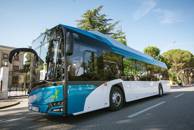
Citizens using public transportation in Tirana can now benefit from a new service integrated into Google Maps, which allows them to follow the movement of urban buses and their respective lines in real time. This technology helps citizens to better plan their daily movements and avoid long waits at stations.
In addition to the residents of the capital, this important development is expected to facilitate orientation for tourists visiting Tirana and Albania, making their experience simpler and more efficient. With a few clicks in the Google Maps application, users can see when the next bus will arrive and follow the exact routes of urban lines.
This is a step towards the digitalization of public services and increasing transparency and efficiency in the urban transport system in Tirana.